


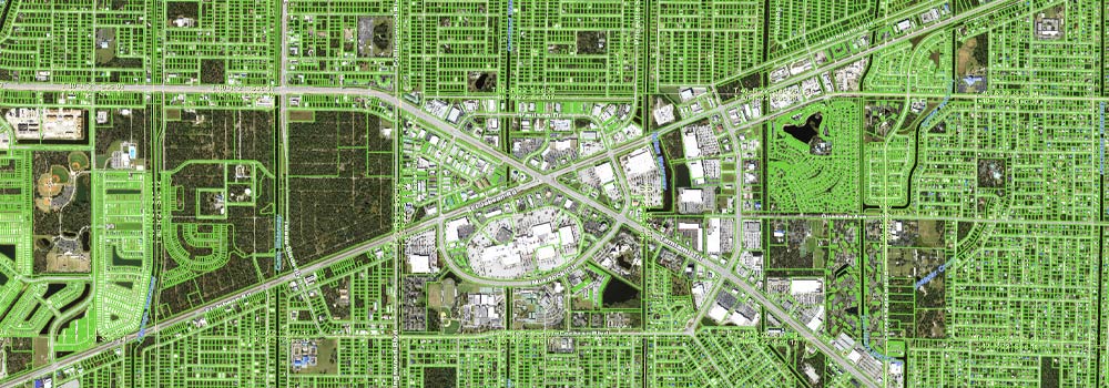
Charlotte County’s GIS creates and maintains spatial information used to support county departments, map creation, and data analysis.
Interactive Charlotte County Mapping Website
The GIS site transmits a large amount of data. Load times may vary depending on your internet connection.
Interactive Map Gallery Download & Order PDF Maps Download GIS Data